
Thursday, March 19, 2015
Sunday, March 15, 2015
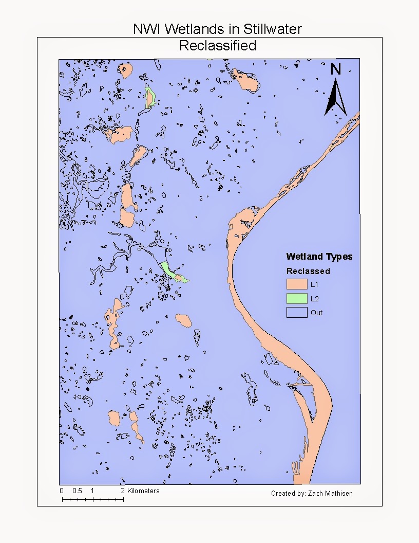
Week 4 Map Projections


Week 4 Lab
* The distance between Washington D.C. and Kabul,
Afghanistan according to the GCS WGS 1984 is 6,934 miles.
* The distance between Washington D.C. and Kabul,
Afghanistan according to the Mercator projection is 10,112 miles.
* The distance between Washington D.C. and Kabul,
Afghanistan according to the Equidistant Conic projection is 6,957 miles.
* The distance between Washington D.C. and Kabul,
Afghanistan according to the Equidistant Cylindrical projection is 5,061 miles.
* The distance between Washington D.C. and Kabul,
Afghanistan according to the Albers Equal Area Conic projection is 7,268 miles.
* The distance between Washington D.C. and Kabul,
Afghanistan according to the Cylindrical Equal Area projection is 10,096 miles.
* The distance between Washington D.C. and Kabul,
Afghanistan according to the North America Lambert Conformal Conic projection
is 6,780 miles.
* The distance between Washington D.C. and Kabul,
Afghanistan according to the Asia Lambert Conformal Conic projection is 8,322
miles.
Thursday, March 12, 2015
Wednesday, March 11, 2015


Thursday, February 5, 2015
Lab 6: Mount Rainier DEM

These DEM maps are of Mount Rainier located in Washington State.

This picture is a 3D image of Mount Rainier.
Thursday, January 22, 2015
Arc Map Week 3: Noise Contour Surrounding Airport

There
are both potentials and pitfalls in using the GIS software Arc Map. It is not
nearly as user-centric as using a program such as google maps and making your
own mash up map, which can cause problems for the inexperienced user. However,
there are a lot more available tools to use in Arc Map that allow maps to show
a wealth of details in a map, combined with a wealth of data that can be used
to analyze what the map is trying to portray.
I ran into several problems while creating my
maps concerning airport noise. It was very difficult for me to export features
that I selected, as I kept on getting an error message saying Arc Map will not
allow me to do this operation, but since it is not very user-centric, it did
not tell me why Arc Map was unhappy and how to make Arc Map happy. It turns out
that I needed to save it as a shape file, and not as a feature class, which was
the default option. Another problem I ran into was trying to summarize the land
use categories, as I kept on getting error messages. I still don’t know why Arc
Map was unhappy about that. It really seems like there is just a lot of trial
and error that the user has to do in order to get exactly what they want out of
a map using Arc Map. However, the tools available within Arc Map are very useful,
so the benefits with Arc Map far outweigh the shortfalls of it.
Thursday, January 15, 2015
Sense of Direction Survey
Zach Mathisen
1/14/2015
GIS 1
Sense of Direction Survey
What year are you at EWU?
This is my
senior year at EWU.
Do you own a car?
Yes, I have
a Oldsmobile Cutlass Supreme.
Do you have access to GPS (e.g., in car navigation, GPS enabled
cell-phone, handheld GPS)?
Yes, I have
multiple GPS apps on my phone.
Are you good at giving directions?
Most of the
time I am, as long as there are good landmarks for me to go on, I am not so
good in remembering street names.
Do you remember where you left things?
Yes most of
the time.
Are you good at judging distances?
Short
distances yes, such as I have a good idea what the length of a football field looks
like (100 yards) but it is hard to judge long distances in miles for me.
Is your "sense of direction" good?
Yes
Do you think of your environment in terms of cardinal
directions (N, S, E, W)?
Yes after
taking Intro to Field Research and the Map Use and Analysis courses.
Do you easily get lost in a new city?
Yes, but that’s
part of the fun in exploring a new city.
Do you enjoy reading maps?
Yes
Do you have trouble understanding directions?
No
Are you good at reading maps?
A little
yes, but there is always room for me to improve.
Do you remember routes very well while riding as a passenger
in a car?
Yes
Do you enjoy giving directions?
Most of the
time, as long as I know what I am talking about.
Do you find it important to know where you are?
Yes I like
to know where I am.
Do you usually let someone else do the navigational planning
for long trips?
No, I like
making my own travel itinerary when taking road trips.
Do you usually remember a new route after you have traveled
it only once?
Sometimes if
I am paying attention.
Do you have a good "mental map" of your
environment?
Yes
Without referring to any outside
sources (e.g., maps, internet, etc.), please answer the remaining questions.
How many miles away is Couer D
Alene from Spokane?
Approx.
30 miles
During GIS I in the Computer Engineering Building, which
direction are you facing?
East
Do you usually try to sit in the same seat or area in your
classes?
Yes
Which direction does the top or head of your bed point?
East
When was the last time you used a map?
Fall
Quarter in Intro. To Field Research class.
Which online mapping service do you use most to get
directions or to locate places?
Map Quest
Enter the two-letter post code abbreviation for your home
state (e.g., California = CA; New York = NY, etc.). If you don't know the
postcode, just guess. If your home is not in the US, enter "XX".
WA
What is the approximate population of the United States?
320 million
people
Which country does NOT border Afghanistan?
Israel.
Where do the equator and prime meridian intersect on the
surface of the earth?
0 degrees latitude
and 0 degrees longitude.
Wednesday, January 14, 2015
Lab 2- Beverly Hills quadrangle
Zach Mathisen
1/14/2014
GIS 1
Lab 2 - Beverly Hills Quadrangle
1.) Beverly Hills Quadrangle
2.) Canoga Park, Van Nuys, Burbank, Topanga, Hollywood, Venice and Inglewood
3.)1966
4.) NAD 27
5.) 1:24000
6.) a.) 1200 meters
b.) 1.89 miles
c.) 2.64 in.
d.) 12.5 cm.
7.) 20 Ft.
8.) b.) 34 degrees 0' 30" N 118 degrees 29' 59" W AND 30.5 degrees, -118.6472 degrees
9.) a.) 580 Ft. and 176.784 Meters
10.) UTM Zone 11
11.) 404037 Easting 3374616 Northing
12.) 1000 Meters.
13.)
14.) 14 degrees magnetic declination
15.) SE flow
16.)
Subscribe to:
Comments (Atom)